 Car audio amplifiers
 Car Audio Systems
 Car radios
 Dictaphones
 Headphones
 Home audio
 Microphones
 Portable media players
 Radios
 Smart speakers
 Speakers
 Turntables
 Digital picture frames
 E-readers
 Fitness trackers
 Graphics tablets
 GSM phones
 Landline phones
 VoIP phones
 Walkie Talkie
 Mobile phones
 Tablet
 Smart watch
 Smart device accessories
 3D printers
 Computer chairs
 Computer cleaning products
 Computer components
 Computer mouses
 Computers (NUC)
 Desktop computers
 I/O Cards & Adapters
 Interactive displays
 Keyboards
 Laser engravers and cutters
 Monitors
 Mouse Pads
 Notebooks and accessories
 Projector screens
 Projectors
 Routers, network equipment
 UPS
UPS Video games consoles and accessories
 Webcams
 Wires, cables and adapters
 Workspace Ergonomics
 Blu-Ray and DVD players
 Multimedia players
 TV aerials
 TV Mounting Kits
 TV remote controls
 TVs
TVs Built-In dishwashers
 Built-in microwaves
 Cooker hood filters
 Cooker hoods
 Dishwashers
 Electric cookers
 Freezers
 Gas stove with electric oven
 Gas stove with gas oven
 Hobs
Hobs Microwaves
 Mini ovens
 Ovens
Ovens Refrigerators
 Tumble dryers
 Washer dryers
 Washing machines
 Small kitchen appliances
 Air fryers / Grills
 Bread machines
 Clothing care
 Food slicers
 Steam cleaners
 Vacuum cleaners / Robots
 Vacuum sealers
 Window cleaners
 Petrol generators
 Petrol/LPG generators
 Inverter generators
 Diesel generators
 Generator accessories
 Power Stations
 Power station accessories
 Solar panels
 Air conditioners
 Construction electric heaters
 Convection heaters
 Electric fans
 Electric heaters
 Gas heaters
 Heating and ventilation accessories
 Humidity Control Devices
 Infrared heaters
 Oil filled radiators
 Hand tools
 Automotive hand tools
 Batteries / chargers
 Cement mixers
 Chip and dust extraction units
 Concrete vibrator
 Construction hand mixers
 Cutter
 Electric winches
 Glue, silicone, grease guns
 Grinding machines
 Heat guns
 Multicutters
 Nail guns, staplers and rivets
 Other power tools
 Paint sprayers
 Personal protective equipment
 Planers
 Pneumatic tools
 Power tool accessories
 Power tool sets
 Rotary hammers
 Rotary tools
 Saws
Saws Screwdrivers and drills
 Sharpeners
 Soldering irons / Pipe welders
 Tile cutters
 Welding consumables
 Welding machines
 Batteries and chargers
 Branch shredders
 Chainsaws
 Cultivators / Tillers
 Garden machinery accessories
 Garden tractors
 Ground drills
 Hedge trimmers
 High pressure washers
 Lawn scarifier and aerator
 Lawnmower robots
 Lawnmowers
 Leaf blowers
 Log saws
 Log splitter
 Multifunctual machines
 Sprayers
 Spreaders
 Trimmers and brushcutters
 Vibratory plates
 Water pumps
 Axes
Axes Garden hose fittings
 Garden hoses
 Garden shears
 Garden spray guns
 Garden sprinklers
 Garden tools
 Hose trolleys & reels
 Lawn & garden watering
 Lawn edges & palisades
 Log tongs
 Mosquito Protection
 Rakes
Rakes Snow shovels
 Tarpaulins
 Wheelbarrow
 Action cameras
 Batteries
 Camcorders
 Camera bags
 Diapositive Scanner
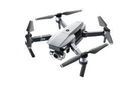 Drones & accessories
 Hunting & trail cameras
 Photo & Video accessories
 Photo printers
 Photocamera
 Photography studio equipment
 Rechargeable battery chargers
 Video Surveillance
 Batteries for photo and video equipment
 Other equipment
 Bathroom scales
 Blood pressure monitors
 Bodycare
 Dental hygiene
 Hair care
 Health
 Shampoos
 Soaps and shower gels
 Thermometers
 Home automation
 Smoke detectors & hazard detectors
 Thermostats
 Cleaning supplies
 Extension cords
 Floor cleaning
 Home interiors
 Kitchen utensils and cutlery
 Lighting
 Mailboxes
 Other Appliances
 Padlocks
 Safes and cash boxes
 Waste bins
 Water filtration systems
 Weather stations & thermometers
 Multifunction printers
  Binding Machines
 Cleaning Products
 Inkjet Printers
 Inkjet Supplies
 Label printers
 Laminators
 Laser Printer Supplies
 Laser Printers
 Printer accessories
 Scanners
 Shredders
 Stationery
 Visualisers
 Board games
 Constructors
 Educational and Interactive Toys
 Electrical appliances for children
 Lego
Lego Outdoor toys
 Playhouses
 Puzzles
 RC toys
 Scooters
 Toddler
 Toys
Toys Animal care
 Automatic feeders
 Automatic pet water fountains
 Carriers and crates
 Cat litter boxes
 Collars, harnesses and leashes
 Feeding bowls
 Pet supplies
 Pet toys
 Backpacks and bags
 Bicycles
 Bike accessories
 Bike locks
 Binoculars
 Camping
 Electric scooters
 Fishing
 Fitness equipment
 Handheld GPS
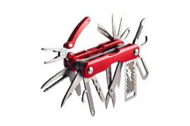 Multitools
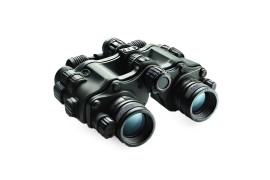 Night Vision Devices
 Sports accessories
 Sunglasses
 Telescopes
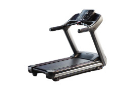 Treadmills
 Water sports
 Wrist watches
 Automotive chemicals
 Car accessories
 Car air compressors
 Car battery chargers, testers, starters
 Car multimedia
 Diagnostic devices
 Electric vehicle charging systems
 Ice scrapers & snow brushes
 Motorcycle intercoms
 Navigation Systems
 Phone car chargers
 Phone mounts
 Tie-Down straps and lashing straps
 Transmitters
 Video recorders
Cart
Your shopping cart is empty! 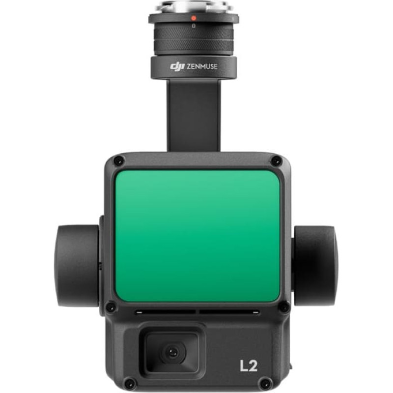
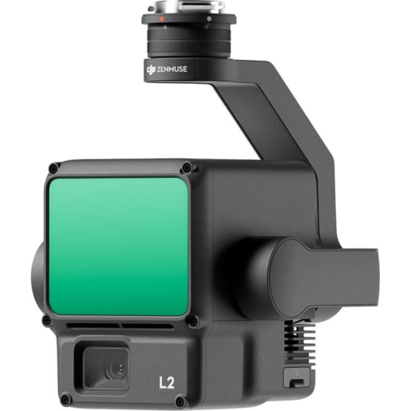

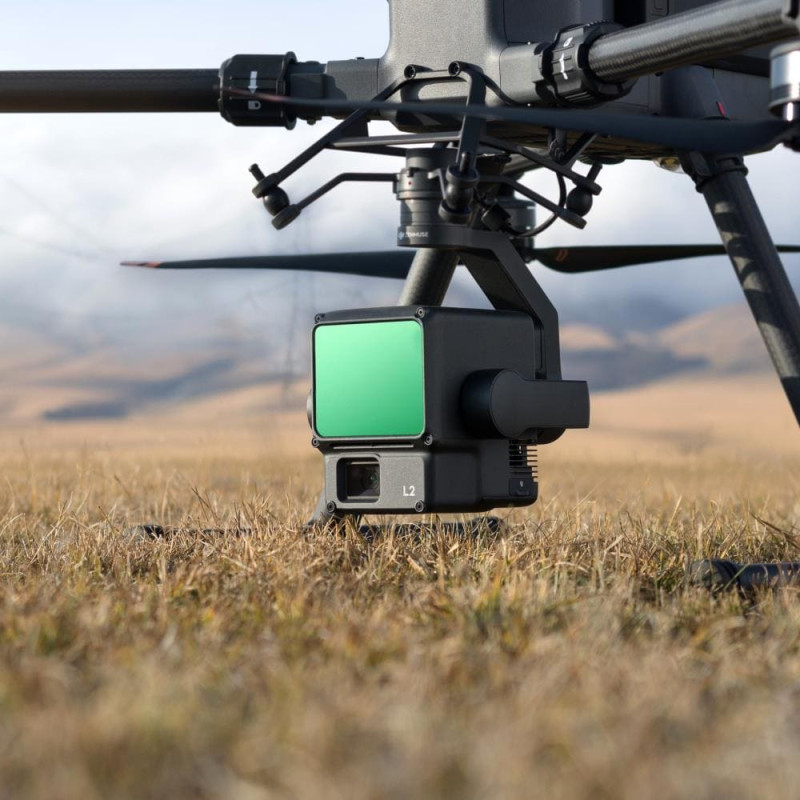

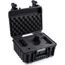
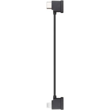
DJI DRONE ACC ZENMUSE L2/CP.EN.00000505.02 DJI
14,085.10€
(Ex Tax: 11,640.58€)
Leasing

Delivery options
![]()
![]()
![]()